
")


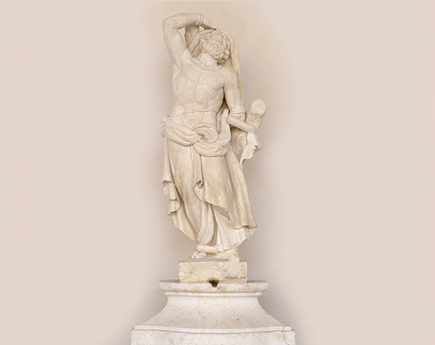
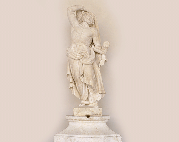
The bright loggia with six arches that once overlooked extensive gardens hosts art commemorating the importance of Mantua’s relationship with water, active since the city’s origin in around the fifth century BC.
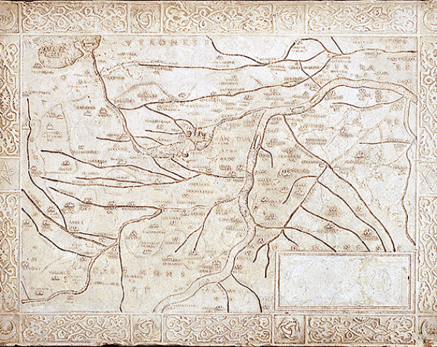
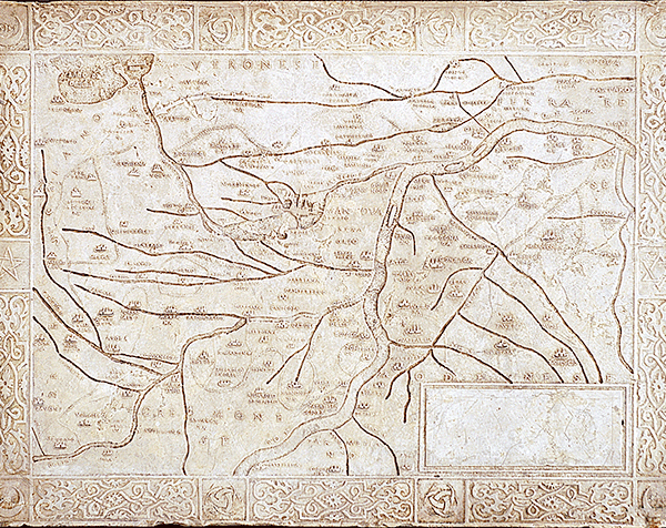
Water was essential to the city’s formation and defensive system as well as to its landscapes, urban structure, fine architecture and economic prosperity. The present layout of the river Mincio was designed by engineer Alberto Pitentino from Bergamo, called in 1189 to redistribute the water around the city so as to completely surround it with four lakes: Upper, Middle, Lower and Paiolo (the latter completely reclaimed between 1750 and 1905). While the four lakes strengthened the city’s defensive system their small ports, among which in particular the two largest - Porto Catena and Porto dell'Ancona - secured an important communication and trade route.
Bridges accessed the city, two of which - Ponte dei Mulini and Ponte di San Giorgio - still exist, although they have been completely rebuilt over the years. Belonging to the same period is the Rio, a channel that still divides the city in two, connecting the Upper and Lower lakes. The Rio acted as a trade route for fishmongers’, butchers’ and jewellers’ shops on the edge of the city, as well as supplying its water. The small ports also served the waterways which connected Mantua to Venice in one direction and Garda in the other.